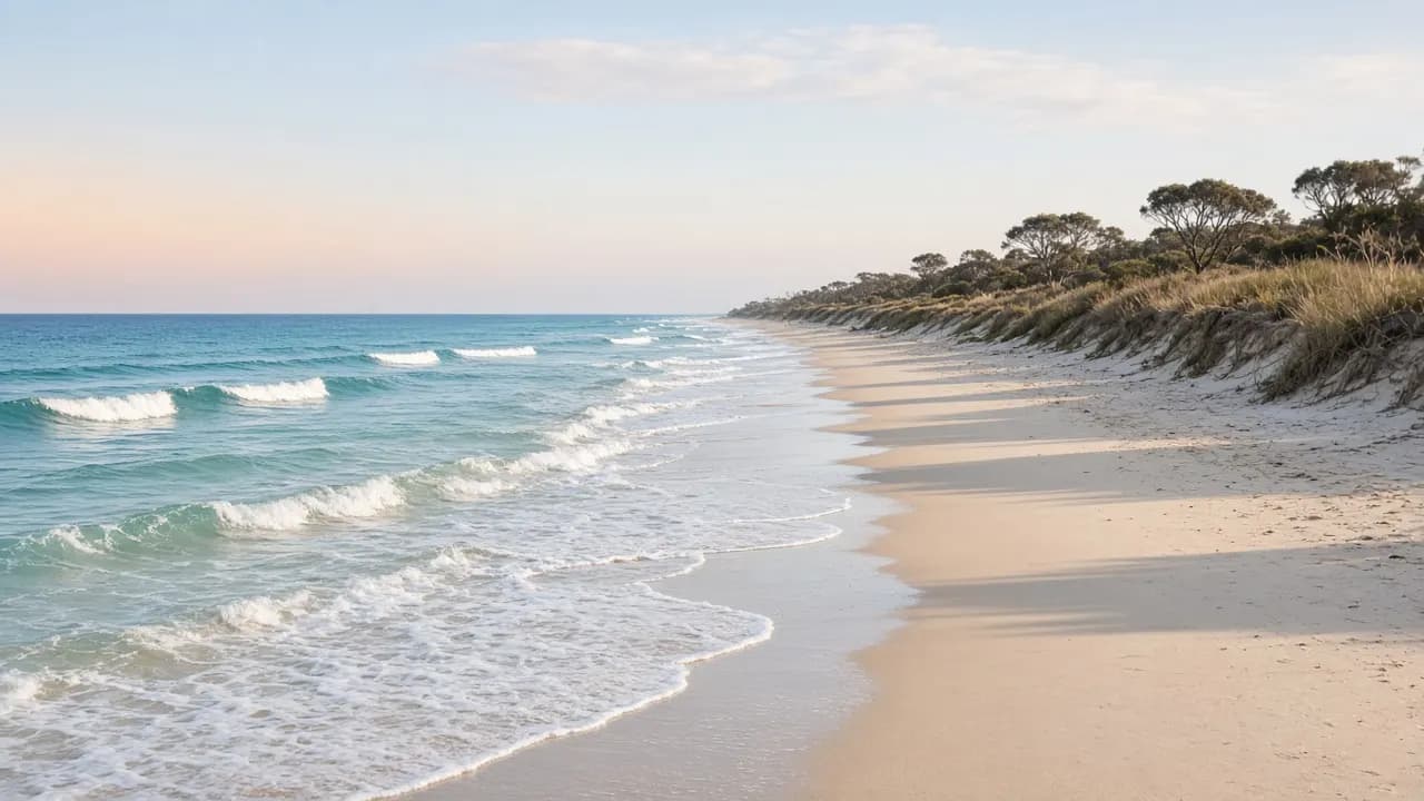
Bribie Island has two coastal personalities, and they are not interchangeable. The western shore looks into Pumicestone Passage. The eastern shore looks at the Coral Sea / Pacific approaches and the shipping paths toward the Port of Brisbane. Asking for the “best beach” without saying whether you want surf, still water, a pram, a 4WD, or a quiet walk is how people end up swimming in the wrong place.
This page answers the swimming question first, then explains the other beaches as landscapes. It does not rank cafés behind the dunes or invent water-temperature tables.
Direct answer
The beach most visitors should use for swimming is Woorim, on the island’s east side, inside the township — and only between the flags when a patrol is operating. Passage-side beaches and parks around Bongaree, Bellara and Sylvan Beach are the usual choice for a calmer, tidal dip or a paddle. North of Woorim, Ocean Beach in Bribie Island National Park and Recreation Area is not patrolled and has dangerous rips. Treat it as a drive and walk-with-care coast, not as a second Woorim.
Woorim: the ocean township beach
Woorim is the settled ocean front. Streets, a beach car park pattern, and a surf club presence make it the only place on the island that behaves like a conventional Queensland surf beach for a family day. Seasonal patrols are provided in the Surf Life Saving system. Flags move. Hours change. A beach that was patrolled last Sunday may not be patrolled this Wednesday. Look for the flags on the sand; if they are not there, you do not have a patrolled swim.
The old site listed “Woorim patrolled surf beach” as an activity. That slug still exists and points back to this same idea: the patrol is the feature, not a promise that the whole eastern shoreline is friendly. Even at Woorim, ocean beaches have dumpers, rips and changing banks. Swim with the patrol, not parallel to it a hundred metres away.
Woorim is also the last easy place to turn around if your group is not set up for the recreation area. Toilets, shops and a sealed road back to the bridge matter more than they sound when someone is sandy, hot and done.
Why the park ocean beach is not a swimming recommendation
Queensland Parks and Wildlife Service describes Ocean Beach as a 4WD journey along the island’s east coast, with creeks, tannin lagoons and views to Caloundra and Moreton Island. It also says, in visitor-safety language, to take care in or near the water on Ocean Beach: dangerous rips, beaches not patrolled. That is the official characterisation. This guide will not soften it.
People still walk the wet sand, photograph the dunes, and fish the gutters. Those are different activities from body-surfing a seemingly empty wave. The sound of the surf can hide approaching vehicles. Children drift. A rip that looks like a calm dark patch is still a rip.
If you go onto that sand at all, you are likely also in the recreation area, which means vehicle rules apply to drivers and common-sense park rules apply to everyone: water in your bag, no dune driving, no rubbish, and a check of park alerts for closures or wildlife issues.
Passage beaches and bay swimming
The western shoreline is the one you see as you come off the bridge. Bongaree’s foreshore parks face a working passage, not a reef break. The water can look like a lake at slack tide and like a river when the tide is running. It is generally more inviting for a wade, a cautious swim, or launching a small craft than the east coast is — and it can still have boats, unexpected depth, and poor water-quality days.
Bellara, Sylvan Beach and the parks toward Banksia Beach continue that sheltered character. Shade and picnic tables are part of the township offer. This is where a long lunch and a short swim make sense. It is not where you go to evaluate your surf skills.
White Patch sits closer to the park edge. The water is still passage water. The hinterland behind it is not still suburb. If you walk north looking for “a quieter beach”, watch for the point where management changes.
What “best” should mean on Bribie
Best for a child who needs flags: Woorim, on a patrolled day. Best for a calm-looking photograph with mountains: the passage at Bongaree or further along the western parks. Best for a long empty sand walk: Woorim’s township beach at the quieter ends, or the park ocean beach if you already accepted park rules. Best for swimming after a 4WD: there isn’t a good official answer. Drive back to a patrolled or known township foreshore rather than treating the last lagoon as a pool.
This site will not publish a ranked top-five. Rankings go stale and they pull people into rips.
Tides, wind and the shape of the day
Ocean swell and onshore wind can make Woorim messy while the passage stays usable. A hard westerly can chop the passage while the east coast looks cleaner. Check a marine forecast and a tide chart; you do not need a local secret. Low tide on the east coast exposes banks and can change how inviting a walk looks. High tide on Ocean Beach is the window QPWS tells drivers to avoid — which should also tell walkers that the wet-sand shelf they wanted may be gone.
Pumicestone Passage is shallow in many places. That is part of its character and part of its hazard for boats. For swimmers it means you can wade a long way and still not be “safe”; channels cut through.
Algae, stingers and other water caveats
QPWS warns that Lyngbya, a toxic blue-green algae, can occur in Moreton Bay from late spring to mid-autumn. Avoid swimming and avoid contact with debris when a bloom is present. Council and health sources issue notices when they have them — look those up on the day rather than trusting a memory of last year’s April.
This guide does not maintain a live jellyfish or shark log. Queensland’s ocean beaches are not sterile. The practical control you have is: swim at a patrolled beach, read the day’s flags and signs, and get out if the water looks wrong.
Access without inventing car parks
Woorim is reached on sealed roads from the bridge via the island’s cross-island route toward the east. The 640 bus continues to the Woorim area on the published Translink pattern — confirm the current terminus and times. Bongaree and Bellara are the first water you can reach after the bridge, which is why they work for visitors without a car.
Do not drive onto the sand at Woorim because you saw vehicles on Ocean Beach in a photograph. Township beach access and recreation-area access are different legal environments. If there is no signed, permitted beach-driving entry, there is no beach driving.
Heritage names that sit near the sand
On-the-beach-style resorts and holiday apartments appear in the old accommodation list. They are historical listings on this rebuild. Their presence on a URL is not a booking, a star rating, or proof they face the water today. Use the accommodation hub to think about bay-side versus surf-side bases, then verify any current property yourself.
Melsa Park and other heritage recreation names are kept under activities. They are not substitutes for a patrolled beach.
A swimming plan you can actually follow
- Decide surf or passage before you leave Brisbane.
- If surf: go to Woorim, find the flags, or change the plan.
- If passage: stay on the western foreshores and treat the water as tidal.
- If someone wants “the wild empty beach”: read 4WD beach and the park guide first, and do not call that a swim day.
- Carry water. Shade is uneven. The island is glare-bright even in winter.
That is the whole swimming argument. Everything else on Bribie — fishing, driving, camping — can use the same sand without making it a beach-holiday in the Gold Coast sense. Bribie is quieter and more conditional than a postcard. The people who like it tend to like that.