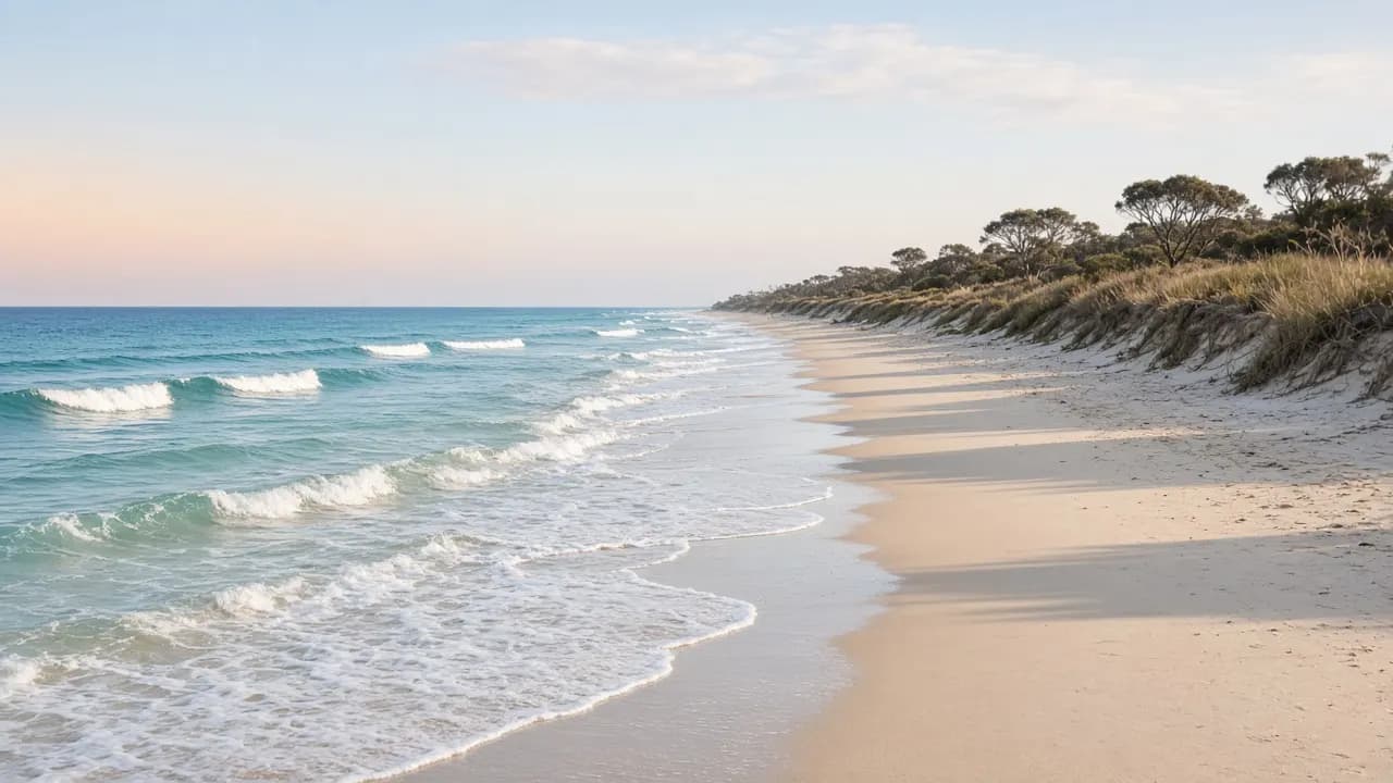
Bribie Island sits in Moreton Bay, about 65 kilometres north of Brisbane, and it is one of the few Queensland islands you can reach without a ferry. A road bridge from the mainland carries ordinary cars, buses and bikes into the townships. That single fact shapes almost every visit: you can arrive for a swim and a walk, or you can keep going into Bribie Island National Park and Recreation Area, where the rules change.
This site is an independent visitor guide rebuilt from a long-quiet tourism domain. It is not Queensland Parks and Wildlife Service, not Moreton Bay City Council, and not a booking office. Nothing here sells a room, a tour, or a vehicle access permit. Where a heritage business name appears, treat it as a historical listing — details unverified.
Choose the island you are actually visiting
First-time visitors often collapse Bribie into one idea: a beach suburb with a bridge. The useful split is simpler. The settled south-west and south-east — Bongaree, Bellara, Banksia Beach, Woorim and the streets around White Patch — are urban Moreton Bay. Shops, parks, a visitor information centre on Benabrow Avenue in Bongaree, and a patrolled surf beach at Woorim belong to that everyday island.
North of the townships, the island becomes park. Queensland Parks and Wildlife Service describes sand dunes, wallum heath, paperbark wetlands, open forest, freshwater creeks and lagoons. The waters around the island sit in Moreton Bay Marine Park. Pumicestone Passage, the sheltered channel between the island and the Glass House Mountains coast, is a nursery for fish, crabs and prawns, and a feeding area for dugong on seagrass. Those are official park facts, not atmosphere copied from an old brochure.
In early 2022 a coastal bar cut through the island about two kilometres from the northern end of the recreation area, separating the park into two sections. QPWS treats the northern breakaway as part of the park: dogs, fires and camping are prohibited there. The sand banks are part of the Moreton Bay Ramsar site and matter for shorebirds. If someone tells you the top of the island is “just more beach”, check the current park alerts before you treat it that way.
The planning question this homepage answers
The core question is not “is Bribie nice?” It is: how do you choose a day that matches the coast you want, the vehicle you have, and the rules that actually apply?
If you want a township day — coffee, a bay swim, a walk along the Bongaree waterfront, perhaps the seaside museum precinct — you can stay on sealed roads and skip recreation-area permits. If you want Ocean Beach north of Woorim, camping behind the dunes, or the inland park tracks, you are entering a recreation area. A vehicle access permit must be obtained before you drive there. High-clearance four-wheel drive with low range is what QPWS calls essential. Two-wheel drives, trail bikes and motorbikes are not eligible.
That fork is where most disappointment starts. People arrive in an ordinary car, see sand, and assume the beach is a council foreshore all the way north. It is not. The Ocean Beach drive described by QPWS starts at the end of North Street in Woorim, runs on the order of 23 kilometres one way, and is a sand drive with tides, speed limits and cameras checking permits. Read the 4WD beach page before you air down a tyre.
A working order for the first visit
Start with getting here. From Brisbane the usual drive is the Bruce Highway toward Caboolture, then Bribie Island Road across the bridge. Without a car, the pattern is a Caboolture line train and a connecting Translink bus — commonly route 640 — over the same bridge. Check the live Translink planner for the day’s times and fares; do not rely on a remembered timetable.
Then choose water. Beaches explains why Woorim is the place most visitors mean when they ask about swimming in surf, and why the park’s ocean shore is a different, unpatrolled proposition. The western shore faces Pumicestone Passage: calmer, tidal, mangrove-lined, better for a bay paddle than for a dump of ocean swell.
If the day is about a rod rather than a swim, use the fishing hub. Passage, beach and marine-park rules are not interchangeable, and this guide will not invent bag limits or secret spots. It will tell you where the official rule books live.
Things to do is the long menu: walks, WWII remnants at Fort Bribie, birdwatching, township bowls and golf as heritage mentions, and the simple pleasure of watching ships run the coast toward the Port of Brisbane. Eat and drink talks in precincts, not rankings. Accommodation explains how to pick a base — bay side, surf side, or a park camp — and keeps the old directory slugs as historical listings.
What this guide will not do
It will not invent prices, awards, opening hours, or “best of” lists. It will not quote reviews. It will not pretend a 2007 or 2017 listing is still trading. It will not tell you a beach is safe because a photograph looks gentle. Ocean Beach in the national park has dangerous rips and is not patrolled. QPWS also warns about Lyngbya, a blue-green algae bloom that can appear in Moreton Bay from late spring to mid-autumn and can irritate skin, eyes and breathing.
Cultural heritage on the island includes shell middens and other evidence of Aboriginal people’s traditional use, and weathered World War II coastal-defence structures. This guide acknowledges that Bribie is living Country — often named in public sources as Joondoburri country within the wider Kabi Kabi / Gubbi Gubbi nation — and it does not retell sacred stories or invent interpretations. For park culture and history, start with the QPWS “about” pages.
How to use the rest of the site
Read the hub that matches your decision, then open the official link in the footer. If you are driving on sand, that official link is the Queensland National Parks booking service and the Bribie Island park alerts. If you are arriving by public transport, it is Translink. If you want a staffed visitor desk, Moreton Bay’s visitor information sources list a centre on Benabrow Avenue, Bongaree — confirm current hours on the official Visit Moreton Bay Region site.
The old tourismbribie.com.au directory left a trail of clean accommodation and activity URLs. Those paths still resolve, with new writing, so inbound links do not dump into a homepage shrug. Messy login, component and .html leftovers 301 to a modern hub. Spam and dead Community Builder paths are not reproduced as content.
If you want the long versions, the weekend guide, Pumicestone Passage and national park essays are written at guide depth. If you want a straight answer first, use the FAQ. If you spotted an error, contact the editor — this inbox cannot book a campsite or a permit.